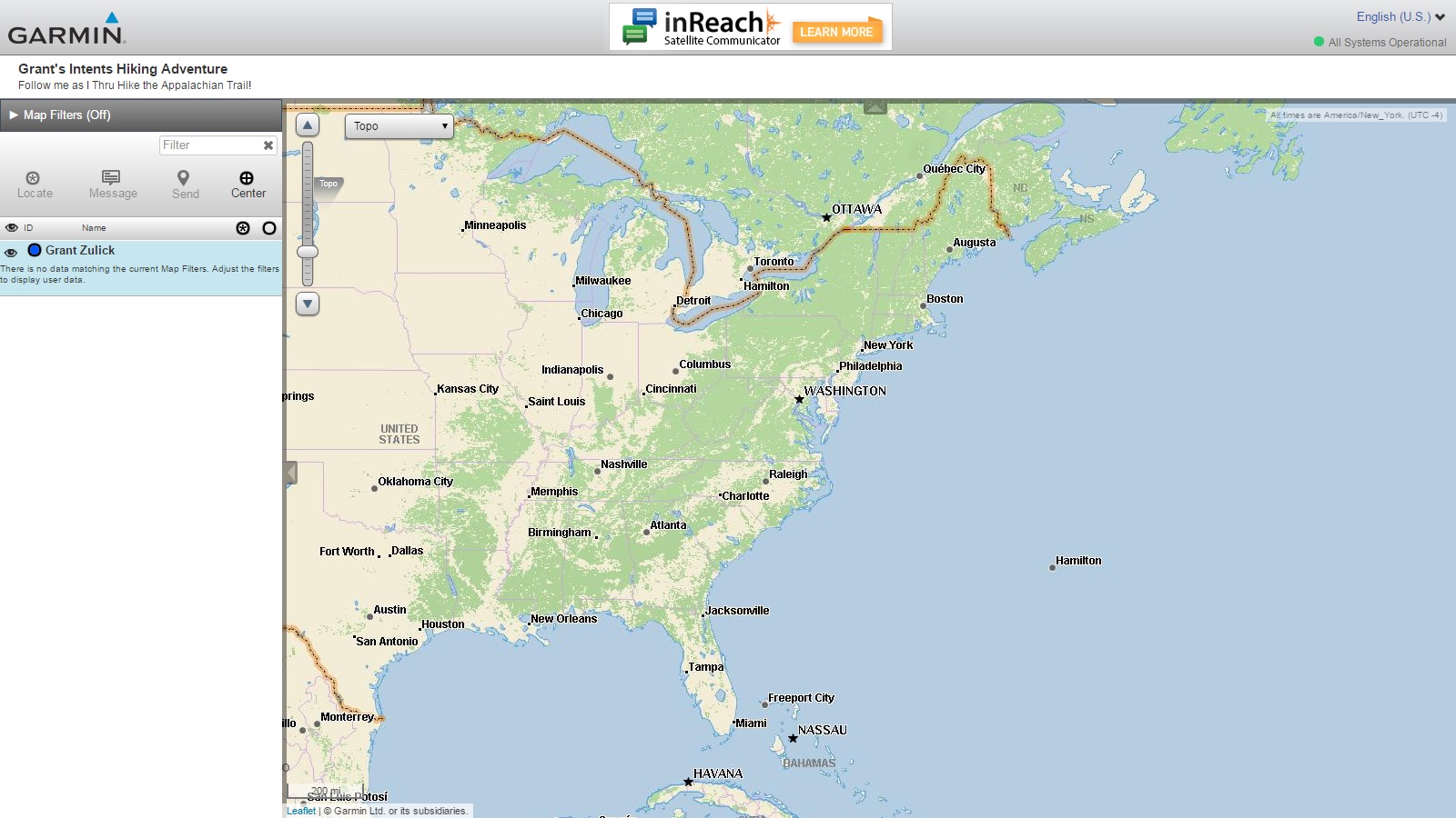
Tired of waiting 3 – 5 boring days between posts? Well I’ve got a semi-complete/understood and relatively more exciting solution for you! For many of you checking in at home from your comfy computer chairs you may be wondering where the heck I am on this crazy trail. With the wonderful and amazing support of my family (combined with their understandable fear of my doom) I have been generously gifted a nifty GPS/2-Way Satellite Communication device known as the inReach Explorer+ made by Garmin. This handy little device has a cool feature I’ve mentioned to a few of you before where I can set up my own website which will track my location via waypoints I create as I travel along. I’ll do my best to update these waypoints as I go each day, but I won’t guarantee daily consistency, so if I don’t make a waypoint one day don’t worry! I’m probably not dead.. probably. There are a few different features I will be tinkering with and trying to learn more about as I go, most I won’t be able to know if they’re working properly until I get back to a town to check. So hang in there folks, hopefully I’ll have my site fully functional by my first town in the next 4 – 5 days or so. Thanks for reading, check back for more in a few days!
For those of you who have already clicked that link above and are confused as to why there’s a password, I haven’t figured out how public my tracking map is without one yet so I set it up to limit traffic to you lovely folks who want to keep up with my travels through this blog. The password for the site is simply the URL for my home page: intentshiking.com

We left Black Creek Gap early so we could eat breakfast at the “official” start of the AT, Springer Mtn 1.7 miles down the trail. As we neared Springer we knew we were close from the whooping and cheering from those who got there before us. Many hikers took shuttles to the start, as the grueling 2000 foot elevation 8.8 mile access trail trek from Amicolola Falls is a hard way to begin an AT thru hike. But Grant refused to miss the access trail experience as I suggested. We took a lot of photos at Springer and Grant registered in the log book- the official start! Grant said it was all finally sinking in- this was the real thing. His face showed his excitement, beaming with confidence, a broad smile and showing those big dimples. We went a short distance to the Springer Mtn shelter to make our freeze dried beeakfast of scrambled eggs, sausage, and hash browns with coffee. Day hikers gave Grant a big chocolate chip cookie and offerred to share their ham sandwiches. We topped off breakfast with a few puffs off a celebratory Cuban Cigar that Grandma Marlene gave us a few weeks prior. I said my goodbyes, good lucks, and last fleeting pieces of parental advice as we walked the next mile to Chattahooche National Forest road 42 where a trail ambassador checked Grant in and offerred fresh cookies! with more photos, we hugged and said final farewell, with me promising to meet him any time and any place he needed me to along his 2166 mile journey. Grant had already met several people, and he set off up the trail with his newfound friend Will Ekman from St Petersburg, Fla. Within minutes, i was offerred a ride back to A Falls and my truck, which I gladly accepted. With a lump in my throat, I called out and got one final photo of he and Will as they rounded a corner. Although hiking 2166 miles through the mountains from Georgia to Maine was never a dream of mine, I am now envious, and realize it’s my dream to that see my son is safe and succesful in this life experience and journey to his next steps.
LikeLike